Port Conditions
The Channel
The entrance to Charleston Harbor is between converging jetties, the inner portions of which are submerged.
A Federal project provides for a channel 54 feet deep over the Bar (Ft. Sumter Range) and through the Harbor entrance, and thence 52 feet deep into the major reaches of the Cooper River, Wando River and Goose Creek, 13.6 miles above the mouth.
Channel widths are generally 1,000 feet offshore, 650 feet in the Cooper River, and 650 feet in the Wando River.
Controlling depth in Charleston harbor 52 feet MLLW
The average tidal difference is 4.8 feet
Anchorage
When inshore vessel anchorage is needed for bunkering, marine services and the like, the principal anchorage is the triangle westward of the junction of Rebellion Reach of the main channel with South Channel. The anchorage is currently restricted to a maximum draft of 30 feet.
If there is a need to anchor offshore prior to coming in to port, many vessels drop anchor 3 nautical miles north or south of the “C” buoy.
Charleston Harbor Controlling Depth
Average Tidal Differences
Channel Width Offshore
Channel Width Inshore
Charleston Weather and Tides
Tides play a critical role in safe navigation within Charleston Harbor, influencing water depth, currents, and vessel movement throughout the day. Mariners rely on accurate, up-to-date tidal information to plan transits and ensure safe passage. The NOAA Tides & Currents station for Charleston Harbor provides real-time data, forecasts, and detailed tide charts, making it a trusted resource for pilots, ship operators, and the maritime community.
Weather
Tune in to NOAA Weather Radio Charleston on WX 1 (162.55 MHz)
Fog
Fog in Charleston Harbor is seldom. In the case that fog results in less than a half mile of visibility, the pilots will decide if it is safe for vessel movements and may suspend port traffic until conditions improve. When traffic resumes, we generally start with one-way traffic, with outbound moves followed by inbound. The Coast Guard and Ports Authority are notified when a shutdown occurs. If you feel your vessel will be affected by fog or other weather conditions, please contact our office directly (link).
Hurricanes and Severe Weather
During extreme weather events such as hurricanes, Charleston Harbor Pilots play a critical role in safeguarding the port, vessels, and surrounding waterways. Drawing on their deep local knowledge and experience, pilots coordinate closely with port authorities, the Coast Guard, and shipping agents to suspend or limit vessel movements, ensure ships safely exit the harbor or are securely anchored, and help implement port closure and reopening procedures.
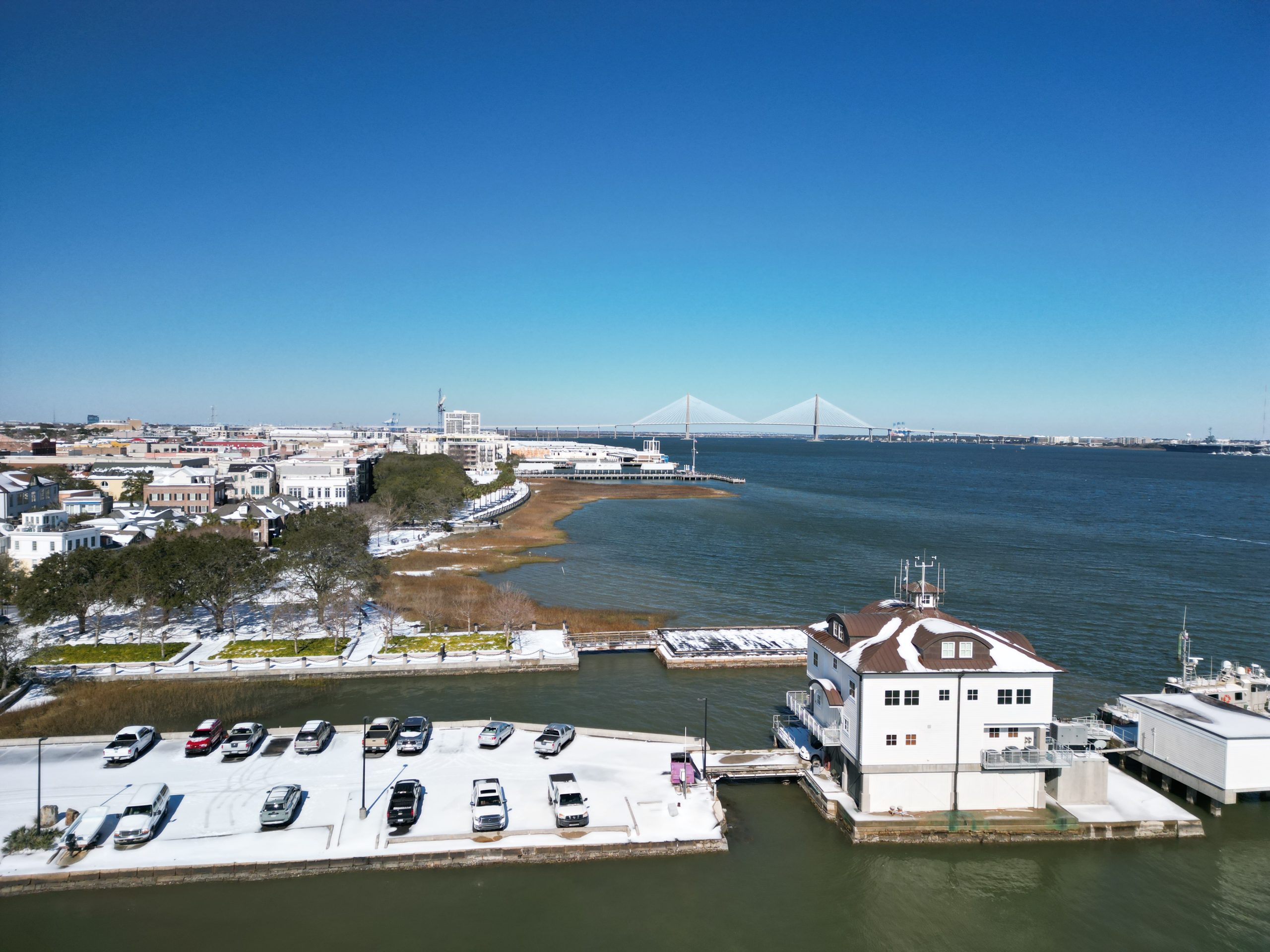
Snow and Ice
Although snow is rare in Charleston, Harbor Pilots remain prepared to manage its impact on maritime operations. Pilots use their local expertise to guide ships safely through the harbor, adjust transit schedules as needed, and coordinate with port authorities to ensure safe docking and departure. Their careful planning and adaptability help maintain safety and minimize disruptions, even during unusual winter weather events.


Bridge Specifications
US Route 17 (Arthur Ravenel Bridge) / Hog Island Reach
192’ above Mean High Water for the width of the channel (56.69 m)
The Arthur Ravenel Jr. Bridge (U.S. Route 17) spans the Cooper River at Hog Island Reach and is designed to safely accommodate large vessel traffic entering and leaving the Port of Charleston. The bridge provides a vertical clearance of 192 feet above Mean High Water across the navigational channel, with a channel width of 56.69 meters (approx. 186 feet).
The charted height (186 feet / 56.6m) is a conservative measurement referencing the extreme ends of the span at the islands supporting the bridge towers, not accounting for camber across the span, but including a deduction for a mobile maintenance car that is permanently stowed at the west tower. This maintenance car has never been deployed over the channel. Allowing for camber, and removing the deduction for the maintenance car, at the channel center, the bridge’s lowest structural steel is 198.2 feet above the Mean High Water datum, based on observations of actual clearance and tide levels.
As such, we will navigate ships with air drafts up to 192 feet through the Ravenel Bridge anytime, and ships with air drafts from 192 feet to 197.5 feet passing through the bridge at low tide. These limits are calculated to include a three-foot safety margin on extremely high low tides up to three feet above Mean Lower Low Water, and extremely high high tides up to three feet above Mean High Water. Mean High Water is 5.4 feet above the Mean Lower Low Water datum.
These specifications ensure that a wide range of commercial ships can transit beneath the bridge while maintaining safe separation, with Charleston Harbor Pilots carefully guiding vessels through this critical passage using their precise knowledge of tides, currents, and vessel dimensions.
I-526 Cooper River (Don Holt Bridge) / Filbin Creek Reach
F155’ above MHW (47.24 m)*
The I-526 Cooper River Bridge (Don Holt Bridge) spans Filbin Creek Reach and serves as another key crossing over Charleston’s navigable waterways. It provides a vertical clearance of 155 feet above Mean High Water, with a horizontal clearance of 47.24 meters (approximately 155 feet). These dimensions require careful navigation for larger vessels, particularly those with significant air draft. Charleston Harbor Pilots use their detailed understanding of vessel characteristics, tides, and clearance limitations to safely guide ships beneath the bridge, ensuring efficient and secure passage through this section of the harbor.
*Click here for real-time NOAA air gap reading at the Don Holt Bridge.


Contact the Dispatcher
HAIL CHARLESTON PILOTS ON VHF CHANNEL 16
Other VHF channels monitored: Channels 14 and 13
LATITUDE 32°37.1’N | LONGITUDE 079°35.5’W
To contact 24-Hour Dispatcher Service:
Phone: (843) 577-6695
Fax: (843) 577-0632
Note: The content on this page is for general informational purposes only. All information on the site is provided in good faith, however, we make no representation or warranty of any kind, express or implied, regarding the accuracy, adequacy, validity, reliability, availability, or completeness of any information on the site. All navigational decisions remain the responsibility of the master and should be based on official resources. It is your responsibility to contact dispatch before arrival or departure for accurate voyage planning. Under no circumstance shall we have any liability to you for any loss or damage of any kind incurred as a result of the use of the site or reliance on any information provided thereon.